Flood and Drainage Checks Before Buying or Building on a Lot
Plan with practical checks for location screening, local observations, and levels and drainage. Includes an owner review checklist.
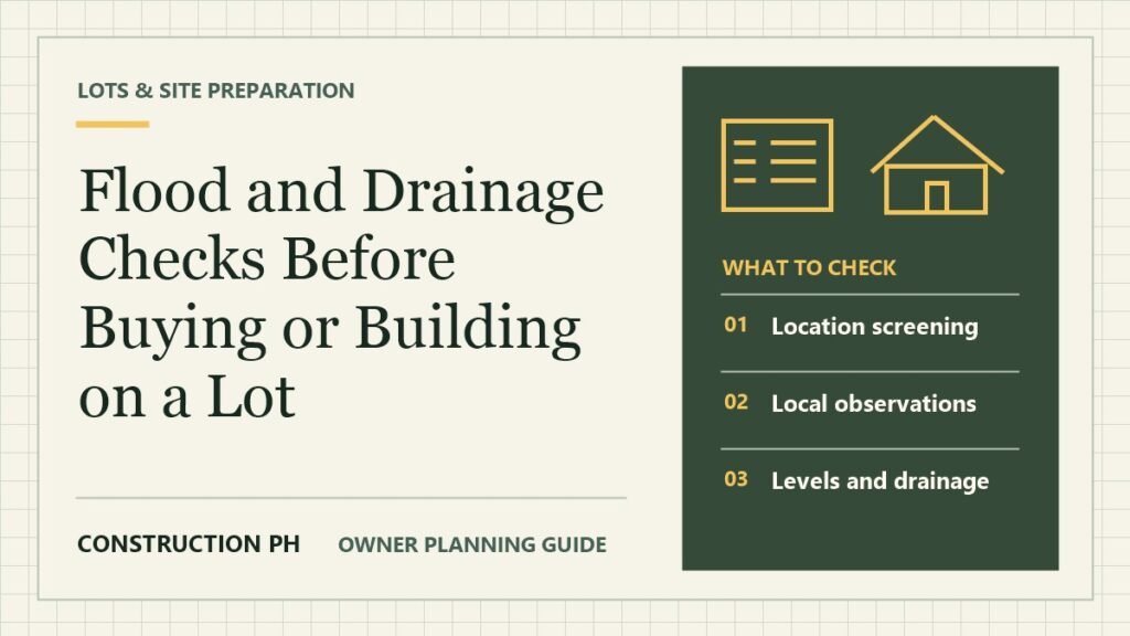
How can you screen a property for flooding before you build?
Review official hazard maps, visit the actual property, ask about past water levels, and have the project team assess drainage and proposed levels. Confirm local requirements before committing to a design.
Start with the project conditions
A property looks dry during a viewing, but neighbours describe water crossing the access road during storms. The owner needs to understand both the lot and the route to it. Use official maps and local observations to prepare questions for a qualified site review.
What to check before you proceed
Location screening
Check that the pin and lot boundary correspond to the property before using a hazard map. Save the map date, legend, and scale. Note nearby roads or low areas that could affect access during a heavy rain event.
Local observations
Visit the site and record visible drains, ground changes, and routes water might take. Ask for dated observations or photographs where available. Identify which claims about past events need independent confirmation before budgeting for work.
Levels and drainage
Ask the design team how it will compare proposed floors, road access, nearby land, and drainage outlets. Discuss whether a survey or specialist study is needed. Identify the external and temporary work that should be priced.
Cost and operating impacts
List costs for site work, service access, protection, and future maintenance separately. Ask how the occupants will reach the house and use utilities in the conditions considered. Compare choices with the same evidence and assumptions.
What to keep in your project file
Bring the site photos and sketch to your design team. Ask which conditions need field measurement or specialist input and reflect the answers in the drawings before requesting a firm price.
| Check | Keep a copy of | Resolve before proceeding |
|---|---|---|
| Location screening | Dated map and confirmed site location. | The map result is based on an uncertain pin or boundary. |
| Local observations | Site photos and documented past conditions. | A dry-day viewing is the only information about water routes. |
| Levels and drainage | Survey and drainage investigation brief. | The design depends on an outlet or access route that has not been confirmed. |
| Cost and operating impacts | Revised site budget and operating assumptions. | A major risk remains unresolved but the estimate treats it as priced. |
How to make the decision
Treat an online map as a screening step. Ask the team how the observations affect the design, access, protection, and budget. Write down conditions that would change your decision to use the site or require another assessment.
Does an online map replace a site survey?
Use the map to identify issues to investigate. Confirm the exact property, measured levels, observations, and applicable local requirements with the appropriate professionals and offices.
Related guides
Reference GeoRiskPH HazardHunterPH.